Forestry and Conservation
KOMPSAT captures multi-spectral imagery, including Near-Infrared (NIR), Red, Green, and Blue bands, providing powerful tools for environmental monitoring and conservation management.
© 2025, KARI, distributed by SIIS
Environmental Capabilities
Comprehensive satellite imagery solutions for forest management, environmental monitoring, and conservation efforts.
Vegetation Health & Forest Condition Assessment
KOMPSAT capture multi-spectral imagery, including Near-Infrared (NIR), Red, Green, and Blue bands, ideal for analyzing vegetation health over large areas. Healthy vegetation reflects more NIR light, appearing bright red in false-color imagery, while stressed or sparse vegetation appears dark.
Using this data, environmental managers can:
- Monitor vegetation density and vitality
- Assess forest health at scale (even at hectare level)
- Detect early signs of drought, disease, or land degradation
This capability is critical for managing ecosystems, reforestation projects, and land restoration initiatives.
Health Monitoring
Monitor vegetation density and vitality at scale
Forest Assessment
Assess forest health even at hectare level
Early Detection
Detect early signs of drought, disease, or degradation
Forest and National Park Management
Deforestation caused by wildfires, illegal logging, development, and climate change continues to threaten forest ecosystems globally and across Africa. KOMPSAT enables the regular, high-resolution monitoring of protected areas, allowing users to:
- Track the progress of deforestation and land degradation
- Detect unauthorized human activity in real time
- Monitor reforestation or afforestation efforts
- Compare forest cover changes over time for reporting and policy enforcement
This makes the satellites a powerful tool for national park authorities, forestry departments, and conservation NGOs.
Deforestation Tracking
Track progress of deforestation and land degradation
Illegal Activity Detection
Detect unauthorized human activity in real time
Reforestation Monitoring
Monitor reforestation or afforestation efforts
Policy Enforcement
Compare forest cover changes for reporting
Glacier & Tropical Rainforest Observation
Remote and sensitive regions such as the Arctic, Antarctic, alpine glaciers, and tropical rainforests are increasingly affected by illegal mining, excessive logging, and climate-driven changes. These areas are hard to access for on-the-ground teams, but KOMPSAT makes regular, wide-area observation simple and reliable.
Applications include:
- Monitoring glacial retreat and seasonal changes
- Identifying illegal activities in rainforest zones
- Supporting international climate reporting (e.g., biodiversity conservation)
- Providing visual evidence for environmental advocacy and governance
With KOMPSAT you gain timely, actionable insights into the world's most vulnerable ecosystems without ever stepping on-site.
Glacial Monitoring
Monitor glacial retreat and seasonal changes
Rainforest Protection
Identify illegal activities in rainforest zones
Climate Reporting
Support international climate reporting initiatives
Environmental Advocacy
Provide visual evidence for governance
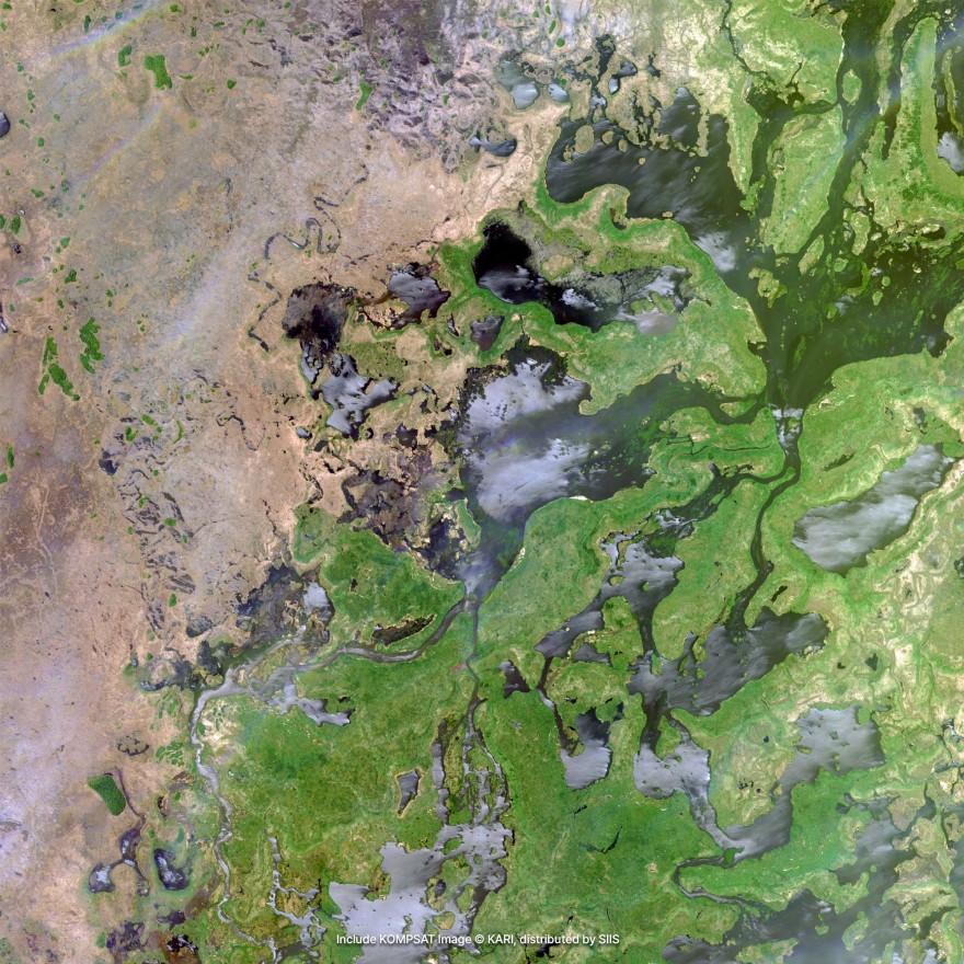
Environmental Examples
High-quality KOMPSAT imagery showcasing forestry monitoring and environmental conservation capabilities.
Forest Health Assessment
Multi-spectral analysis for vegetation health monitoring and forest condition assessment.
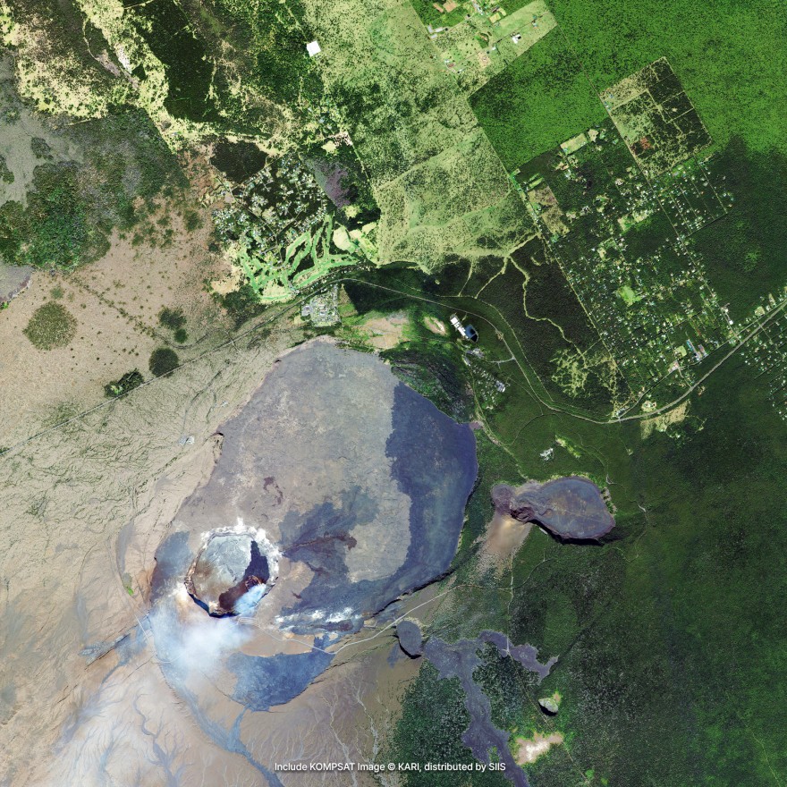
Conservation Monitoring
Remote monitoring of protected areas and sensitive ecosystems for conservation management.
Request Environmental Data
Get high-resolution satellite imagery for your forestry management and environmental conservation projects.
Place Your Imagery Order
Complete the form below to request satellite imagery. All fields marked with * are required.