Mapping
We offer access to KOMPSAT's very high-resolution satellite imagery, tailored for precision mapping projects across East Africa, the wider African continent, and globally. By leveraging spectral reflectance and spatial details such as pixel shape and resolution, users can generate accurate land cover maps based on surface characteristics. KOMPSAT imagery enables clear identification of structures by size and function such as distinguishing residential from commercial buildings and supports the analysis of complex road networks and evolving land use. These capabilities empower users in urban planning, environmental monitoring, and infrastructure development with up-to-date, actionable insights.
© 2025, KARI, distributed by SIIS
Mapping Capabilities
Advanced satellite imagery solutions for precision mapping and land cover analysis across diverse applications.
Key Features
Spectral Analysis
Leverage spectral reflectance for accurate land cover classification
Structure Identification
Clear identification of structures by size and function
Road Network Analysis
Analysis of complex road networks and evolving land use
Applications
Urban Planning
Support urban development and city planning initiatives
Environmental Monitoring
Track environmental changes and land use patterns
Infrastructure Development
Support infrastructure planning and development projects
Land Use Analysis
Comprehensive land use mapping and change detection
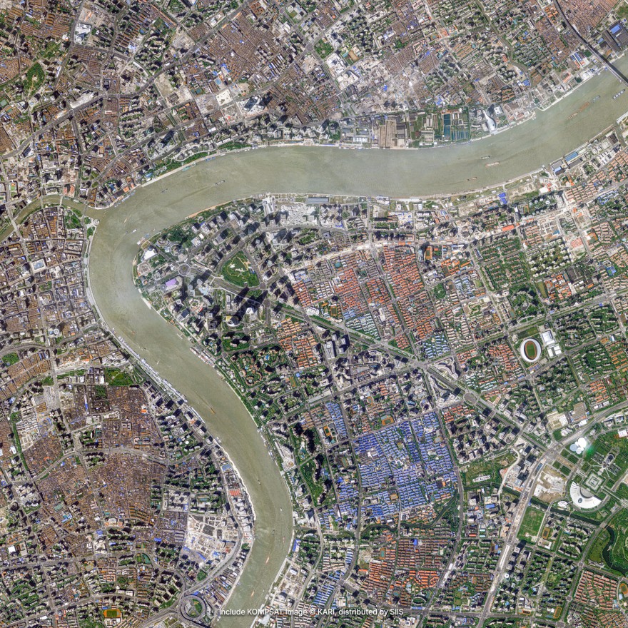
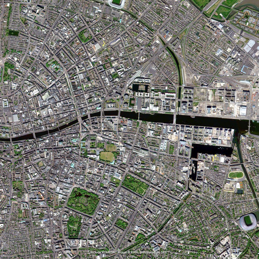
Mapping Examples
High-quality KOMPSAT imagery showcasing precision mapping capabilities across various applications.
Urban Area Mapping
High-resolution imagery for detailed urban planning and development analysis.
Land Cover Classification
Spectral analysis for accurate land cover mapping and change detection.
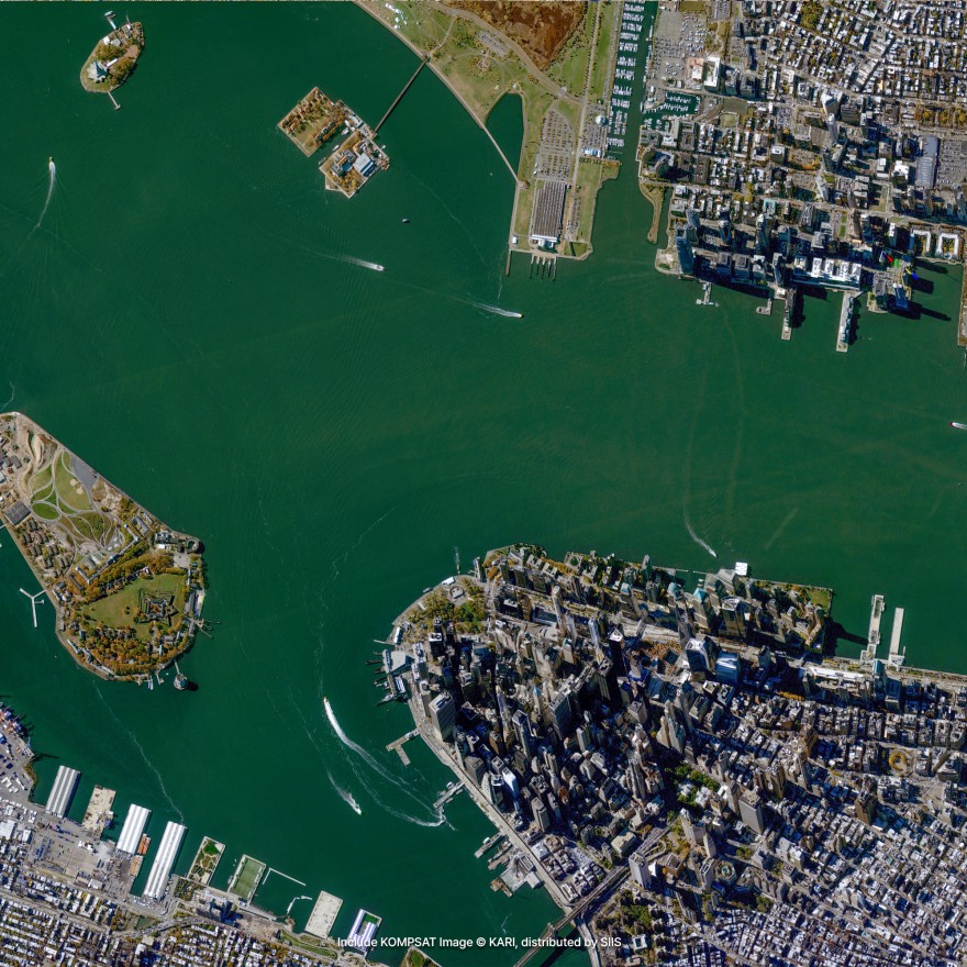
Infrastructure Mapping
Detailed mapping of transportation networks and infrastructure development.
Request Mapping Data
Get high-resolution satellite imagery for your precision mapping projects across East Africa and globally.
Place Your Imagery Order
Complete the form below to request satellite imagery. All fields marked with * are required.