KOMPSAT-3
Advanced electro-optical satellite providing very high resolution imagery with 0.5m panchromatic and 2.0m multispectral resolution for precise Earth observation applications.
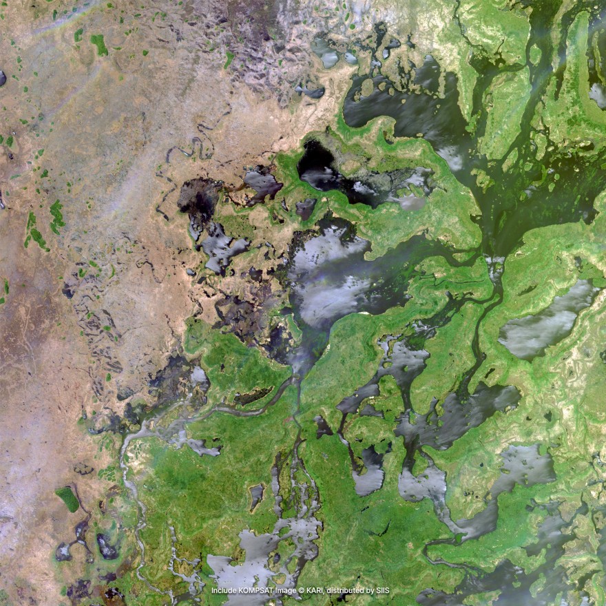
© 2025, KARI, distributed by SIIS
Download Sample Image
Click to download KOMPSAT-3 sample
Technical Specifications
Comprehensive technical details and imaging capabilities of the KOMPSAT-3 satellite system.
Resolution & Technical Parameters
| Parameter | Specification |
|---|---|
| Resolution-Ground Sampling Distance (GSD) | PAN: 0.5 m MS: 2.0 m @ altitude 528 km (nadir) |
| Swath Width | 16 km (nadir) |
| Location Accuracy | 19.9 m RMSE, < 30.19 m CE90 with POD/PAD |
| MLTAN (Mean Local Time of Ascending Node) | 13:30 (local time) |
| Orbit | Sun-synchronous orbit |
| Data Quantization | 14 bits / pixel |
| Map Projection / Datum | UTM / WGS84 |
| File Format | GeoTIFF |
| Spectral Bands | PAN: 450–900 nm | MS1 (Blue): 450–520 nm | MS2 (Green): 520–600 nm | MS3 (Red): 630–690 nm | MS4 (NIR): 760–900 nm |
| Products | Level 1R, Ortho-ready, Level 1G |
| Revisit time | 1 day |
| Optical Sensor | AEISS |
| Launch year | May 17, 2012 |
Imaging Modes
| Imaging Mode | Swath Width | Coverage |
|---|---|---|
| Strip Mode | 16 km | Up to 4,000 km long (continuous corridor) |
| Multi-point Mode | 16 km per target | Multiple scattered sites in one pass |
| Wide Area Mode | 45 km wide | Up to 100 km long (stitched adjacent strips) |
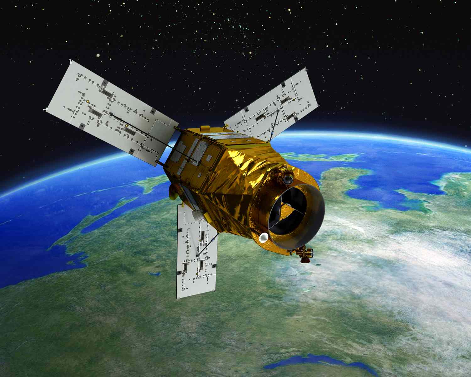
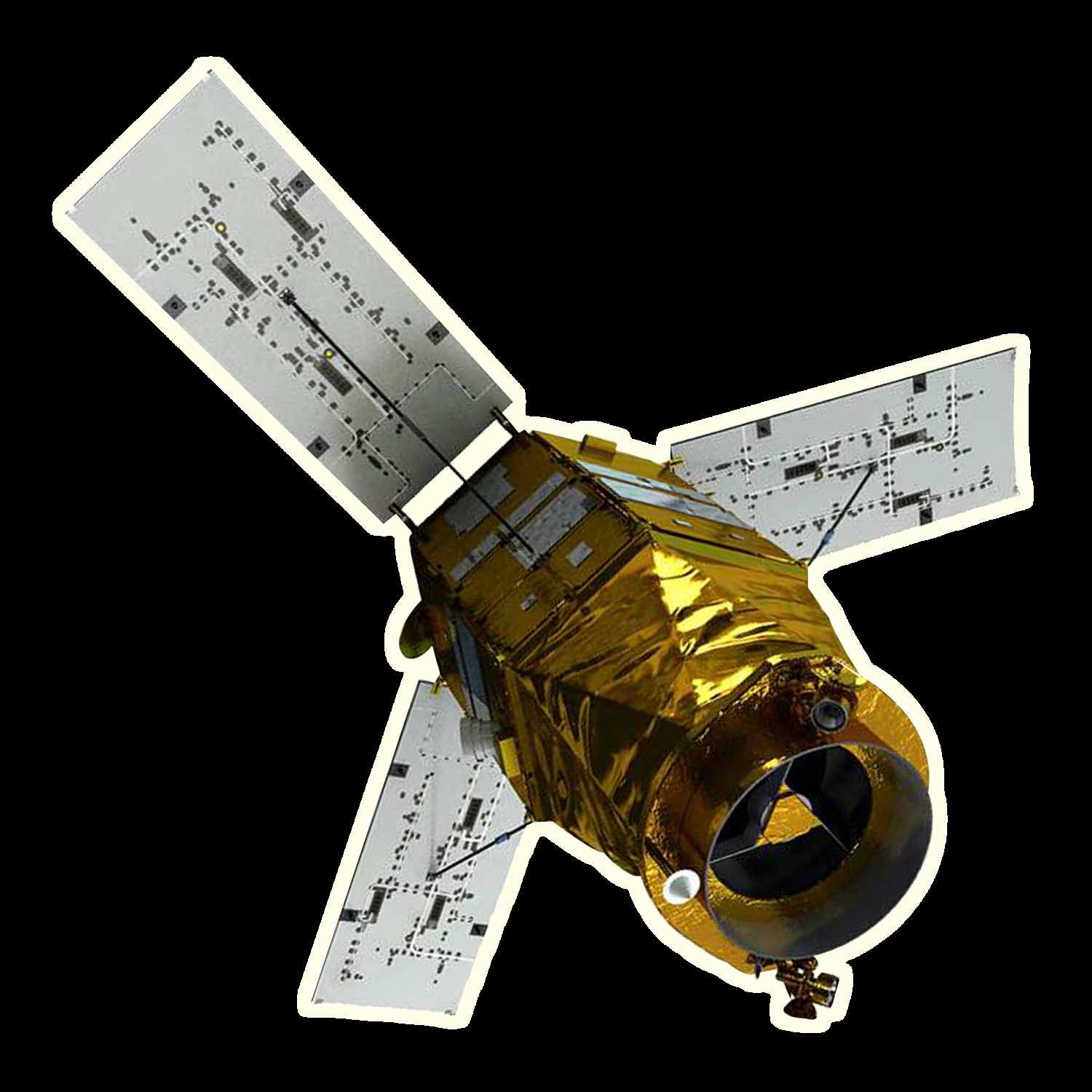
KOMPSAT-3 Satellite Imagery Showcase
Discover the satellites powering our high-resolution Earth observation imagery.
KOMPSAT-3 is a high-resolution Earth observation satellite developed by KARI to deliver precise optical imagery for mapping and monitoring. It provides 0.5 m panchromatic and 2.0 m multispectral resolution with a 16 km swath width, capturing data in panchromatic, blue, green, red, and near-infrared bands. Operating in a sun-synchronous orbit, the satellite ensures consistent daylight coverage worldwide.
Its imagery is produced at 14-bit quality with reliable geolocation accuracy and is available in GeoTIFF format using the UTM/WGS84 projection. KOMPSAT-3 supports flexible imaging through three modes: Strip Mode for long corridors up to 4,000 km, Multi-point Mode for scattered sites, and Wide Area Mode for mosaicked coverage up to 45 km by 100 km.
These capabilities make it a valuable tool for mapping, agriculture, land monitoring, urban planning, environmental studies, and disaster management.
Imagery Collection
© 2025, KARI, distributed by SIIS
© 2025, KARI, distributed by SIIS
Place Your Imagery Order
Complete the form below to request satellite imagery. All fields marked with * are required.