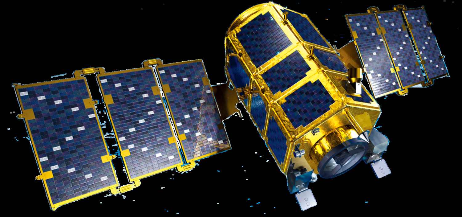
KOMPSAT-2
Earth observation satellite providing high-quality optical imagery with 1.0m panchromatic and 4.0m multispectral resolution for mapping and monitoring applications.

© 2025, KARI, distributed by SIIS
Download Sample Image
Click to download KOMPSAT-2 sample
Technical Specifications
Comprehensive technical details and imaging capabilities of the KOMPSAT-2 satellite system.
Resolution & Technical Parameters
| Parameter | Specification |
|---|---|
| Product GSD | PAN: 1.0 m / MS: 4.0 m |
| Swath Width | 15 km (nadir) |
| Spectral Bands | PAN & MS (RGBN) |
| Products | Level 1R, Ortho-ready (L1G) |
| Data Quantization | 10 bits / pixel |
| Long strip capability | Yes |
| Revisit time | 1 day |
| Sensor | Electro Optical |
| Launch year | July 28, 2006 |
KOMPSAT-2 Satellite Imagery Showcase
Discover the satellites powering our high-resolution Earth observation imagery.
KOMPSAT-2 is an Earth observation satellite designed to provide high-quality optical imagery for mapping and monitoring applications. It delivers 1.0 m panchromatic and 4.0 m multispectral resolution with a 15 km swath width, capturing data in four bands panchromatic, red, green, blue, and near infrared.
The satellite produces 10-bit imagery in Level 1R and Ortho-ready (L1G) formats, supporting accurate analysis across multiple sectors. With long strip imaging capability, KOMPSAT-2 is well-suited for applications such as topographic mapping, land use planning, environmental monitoring, agriculture, and disaster response.
Imagery Collection

© 2025, KARI, distributed by SIIS
© 2025, KARI, distributed by SIIS
Place Your Imagery Order
Complete the form below to request satellite imagery. All fields marked with * are required.