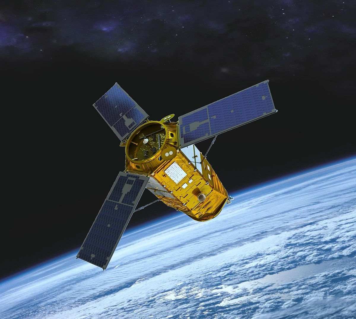
KOMPSAT-3A
Advanced electro-optical satellite providing ultra-high resolution imagery with 0.4m panchromatic and 1.6m multispectral resolution for precise Earth observation applications.

© 2025, KARI, distributed by SIIS
Download Sample Image
Click to download KOMPSAT-3A sample
Technical Specifications
Comprehensive technical details and imaging capabilities of the KOMPSAT-3A satellite system.
Resolution & Technical Parameters
| Parameter | Specification |
|---|---|
| Resolution-Ground Sampling Distance (GSD) | PAN: 0.4 m MS: 1.6 m @ altitude 528 km (nadir) |
| Swath Width | 13 km (nadir) |
| Location Accuracy | 6.20 m RMSE, < 9.40 m CE90 with POD/PAD |
| MLTAN (Mean Local Time of Ascending Node) | 13:30 (local time) |
| Orbit | Sun-synchronous orbit |
| Data Quantization | 14 bits / pixel |
| Map Projection / Datum | UTM / WGS84 |
| File Format | GeoTIFF |
| Spectral Bands | PAN: 450–900 nm | MS1 (Blue): 450–520 nm | MS2 (Green): 520–600 nm | MS3 (Red): 630–690 nm | MS4 (NIR): 760–900 nm |
| Products | Level 1R, Ortho-ready, Level 1G |
| Revisit time | 1 day |
| Optical Sensor | AEISS-HR |
| Launch year | March 25, 2015 |
Imaging Modes
| Imaging Mode | Swath Width | Notes |
|---|---|---|
| Strip Mode | 13 km | Fixed width; extends in length up to 4,000 km |
| Multi-point Mode | 13 km per target | Each target area imaged is 13 km wide |
| Wide Area Mode | 25 km | Wider coverage achieved by combining adjacent strips; length up to 204 km |
KOMPSAT-3A Satellite Imagery Showcase
Discover the satellites powering our high-resolution Earth observation imagery.
KOMPSAT-3A is South Korea's first sub-meter resolution Earth observation satellite, delivering 0.4 m panchromatic and 1.6 m multispectral imagery from a sun-synchronous orbit. With a 13 km swath width, 14-bit radiometric quality, and high geolocation accuracy, it provides reliable data for precision mapping and monitoring.
The satellite captures imagery in PAN, Blue, Green, Red, and NIR bands, available in GeoTIFF format (UTM/WGS84). It supports flexible imaging modes, including Strip Mode (up to 4,000 km length), Multi-point Mode (13 km per target), and Wide Area Mode (25 km × 204 km).
KOMPSAT-3A data is widely used in urban planning, land use mapping, environmental monitoring, and disaster response.
Imagery Collection
© 2025, KARI, distributed by SIIS

© 2025, KARI, distributed by SIIS

© 2025, KARI, distributed by SIIS

© 2025, KARI, distributed by SIIS
Place Your Imagery Order
Complete the form below to request satellite imagery. All fields marked with * are required.