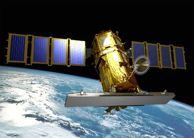
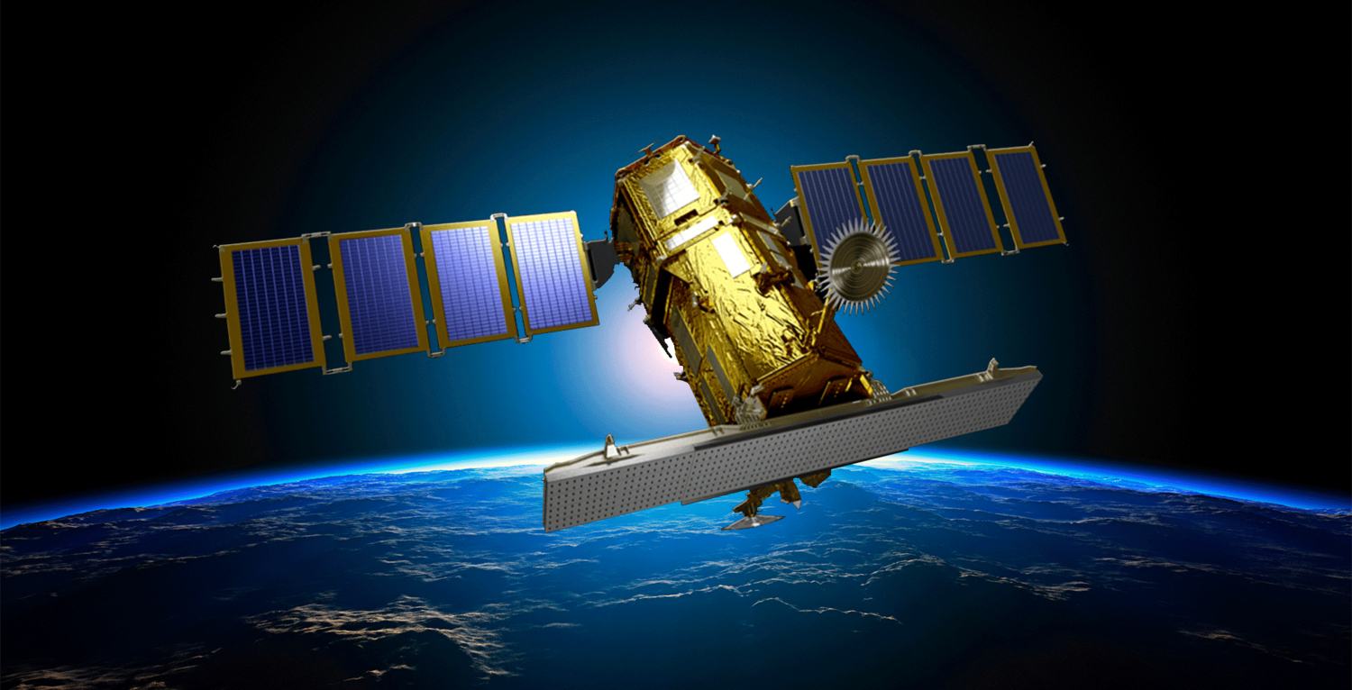
KOMPSAT-5
South Korea's first radar imaging satellite with Synthetic Aperture Radar (SAR) sensor that captures imagery day and night, regardless of weather conditions.
© 2025, KARI, distributed by SIIS
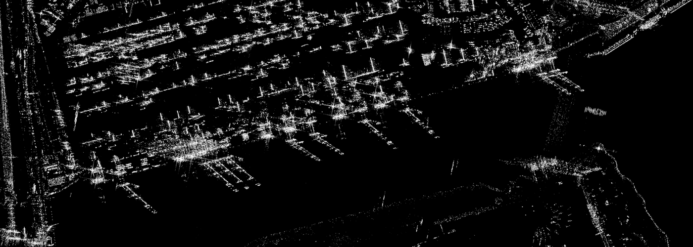
Download Sample Image
Click to download KOMPSAT-5 sample
Technical Specifications
Comprehensive technical details and imaging capabilities of the KOMPSAT-5 satellite system.
Resolution & Technical Parameters
| Parameter | Specification |
|---|---|
| InSAR Capability | Yes (Multiple images over the same area can be combined to measure ground deformation) |
| Processing Levels | Level 1A (SLC) Single Look Complex): Raw radar data with phase info, useful for advanced analysis (InSAR). Level 1C: Radiometrically corrected image, no phase. Level 1D: Georeferenced image, ready for mapping/GIS use |
| MLTAN | 06:00 / 18:00 (local time) |
| Orbit | Dawn-dusk, sun-synchronous |
| Orbit Cycle | 28 days |
| Altitude | 550 km |
| Location Accuracy | CE90: 6.22 m |
| Map Projection / Datum | UTM / WGS84 |
| File Format | Hierarchical Data Format (HDF5) and Georeferenced Tagged Image File Format (GeoTIFF) |
| Revisit time | 0.5-1 day (weather independent) |
| Optical Sensor | X-band SAR |
| Launch year | August 22, 2013 |
Imaging Modes
| Mode | Resolution Type | GSD | Swath Width |
|---|---|---|---|
| Spotlight | Ultra High Resolution (UH) | 0.85 m | 5 km |
| Enhanced High Resolution (EH) | 1 m | 5 km | |
| High Resolution (HR) | 1 m | 5 km | |
| Strip | Enhanced Strip (ES) | 2.5 m | 30 km x max 840 km |
| Standard Strip (ST) | 3 m | 30 km x max 840 km | |
| Wide Swath | Enhanced Wide Swath (EW) | 20 m | 100 km x max 840 km |
| Wide Swath (WS) | 20 m | 100 km x max 840 km |
KOMPSAT-5 Satellite Imagery Showcase
Discover the satellites powering our all-weather radar Earth observation imagery.
KOMPSAT-5 is South Korea's first radar imaging satellite, equipped with a Synthetic Aperture Radar (SAR) sensor that can capture imagery day and night, regardless of weather conditions. Flying in a dawn–dusk sun-synchronous orbit at 550 km altitude, it provides reliable coverage with a 28-day repeat cycle and high geolocation accuracy of about 6 m.
The satellite supports multiple imaging modes: Spotlight Mode delivers ultra-high-resolution imagery down to 0.85 m over a 5 km swath, Strip Mode captures corridors up to 840 km long at 2.5–3 m resolution, and Wide Swath Mode provides 20 m resolution over areas as wide as 100 km. These flexible options make it suitable for both detailed mapping and large-area monitoring.
KOMPSAT-5 products are available at different processing levels, from raw single-look complex data for InSAR analysis to fully georeferenced GeoTIFF images ready for GIS use. Its all-weather, high-resolution radar imagery is widely applied in ground deformation monitoring, disaster management, land use planning, environmental monitoring, and national security.
Imagery Collection
© 2025, KARI, distributed by SIIS
© 2025, KARI, distributed by SIIS
Place Your Imagery Order
Complete the form below to request satellite imagery. All fields marked with * are required.