Comprehensive GIS Datasets
At Geosurveys, we deliver curated, ready-to-use GIS datasets that empower smarter decisions. Covering socioeconomic, land use, cadastral, infrastructure, and environmental layers, our data is designed to support planning, governance, and investment.

GIS Data Categories
Comprehensive spatial data to support planning, governance, and investment.
Available Datasets
Ready to use feature layers for Kakamega, Kilifi, counties

County-based datasets
Comprehensive spatial data by counties to support planning, governance, and investment.
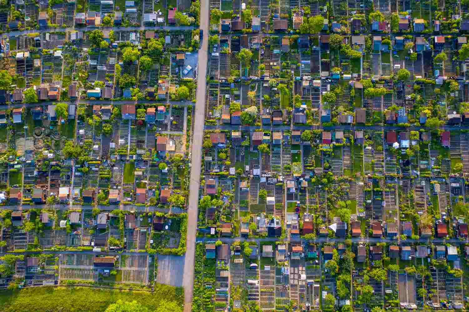
Cadastral datasets
Land parcel maps for urban planning, zoning, surveying and development control.
Urban planning and zoning
Data on zoning and land use complemented with local and regional physical and land use development plans.

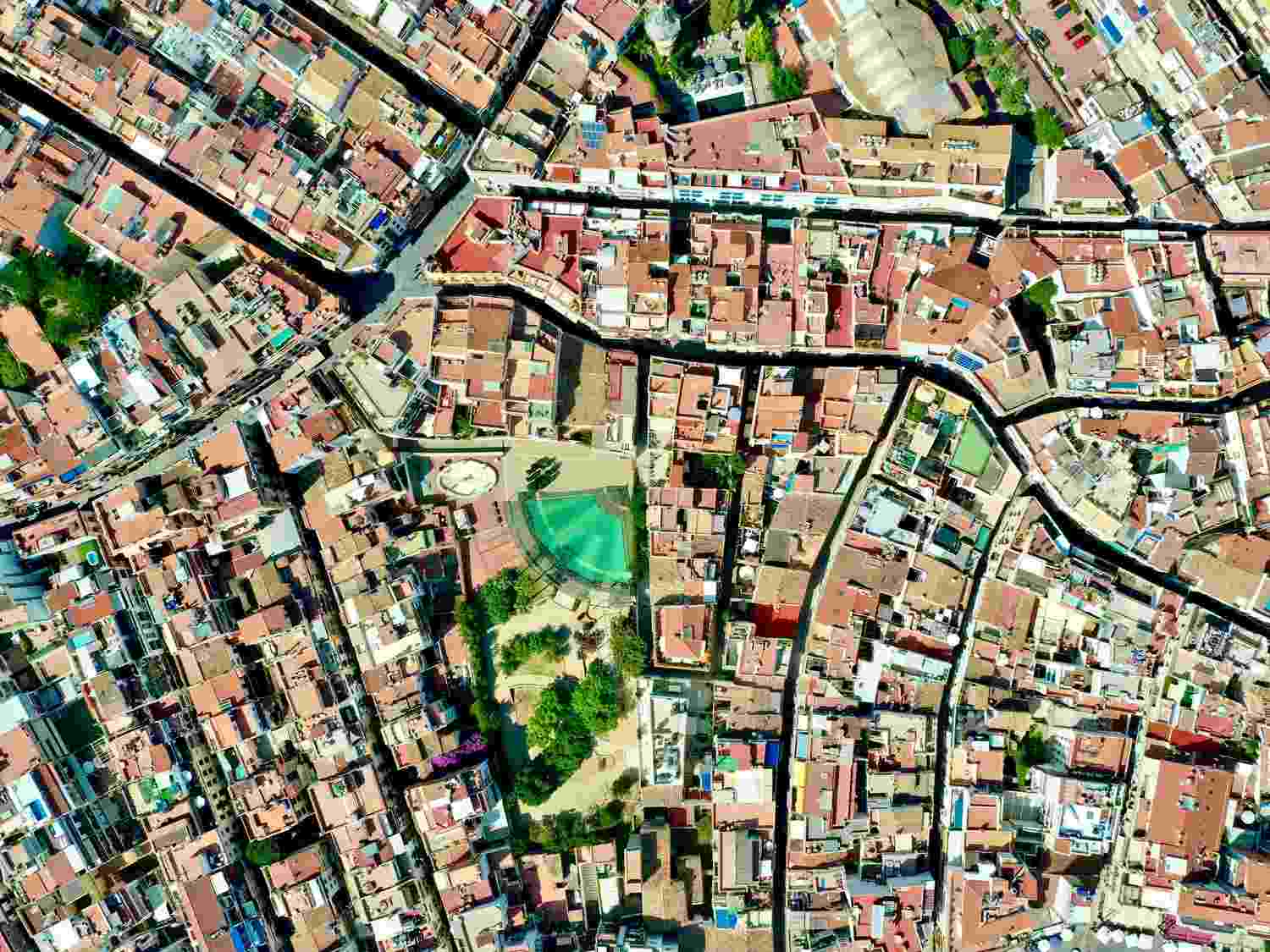
Infrastructure and Utilities
Roads, power, water, sewerage, and telecom datasets.

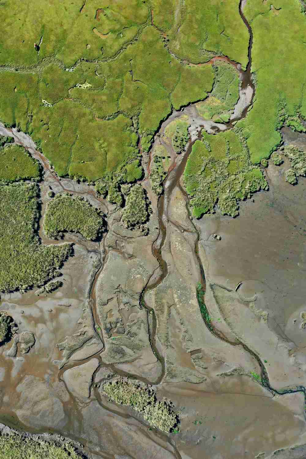
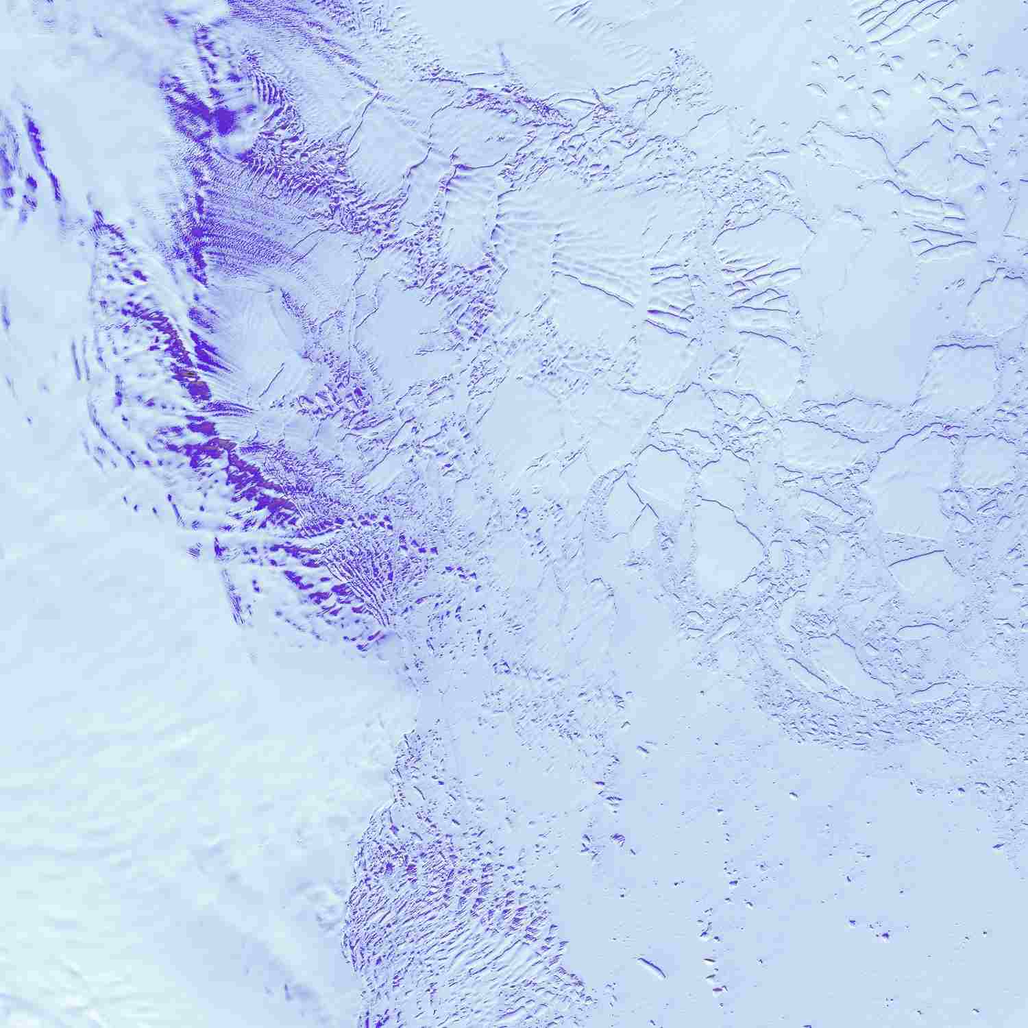
Environment and Natural Resources
Land cover, forests, wetlands, and climate datasets supported by environmental policies.
Topography and elevation
DEM, DSM, contours, and terrain datasets
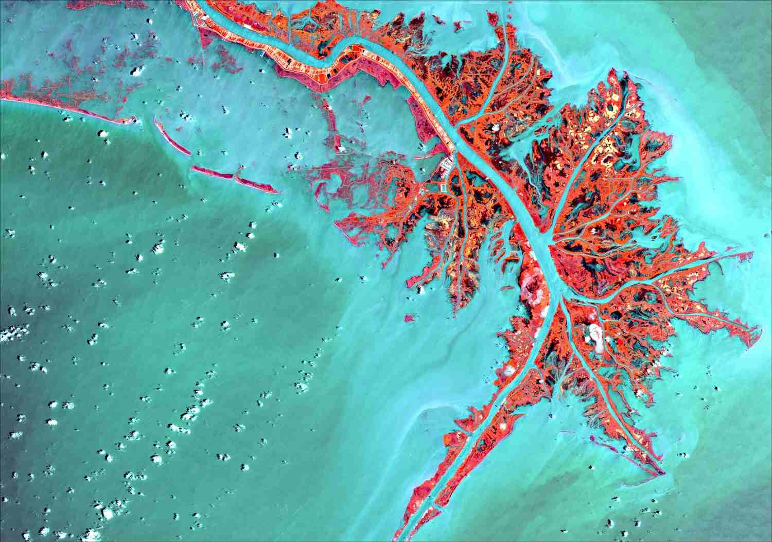
Remote Sensing
High-resolution satellite imagery, orthomosaics, and monitoring products with metadata.
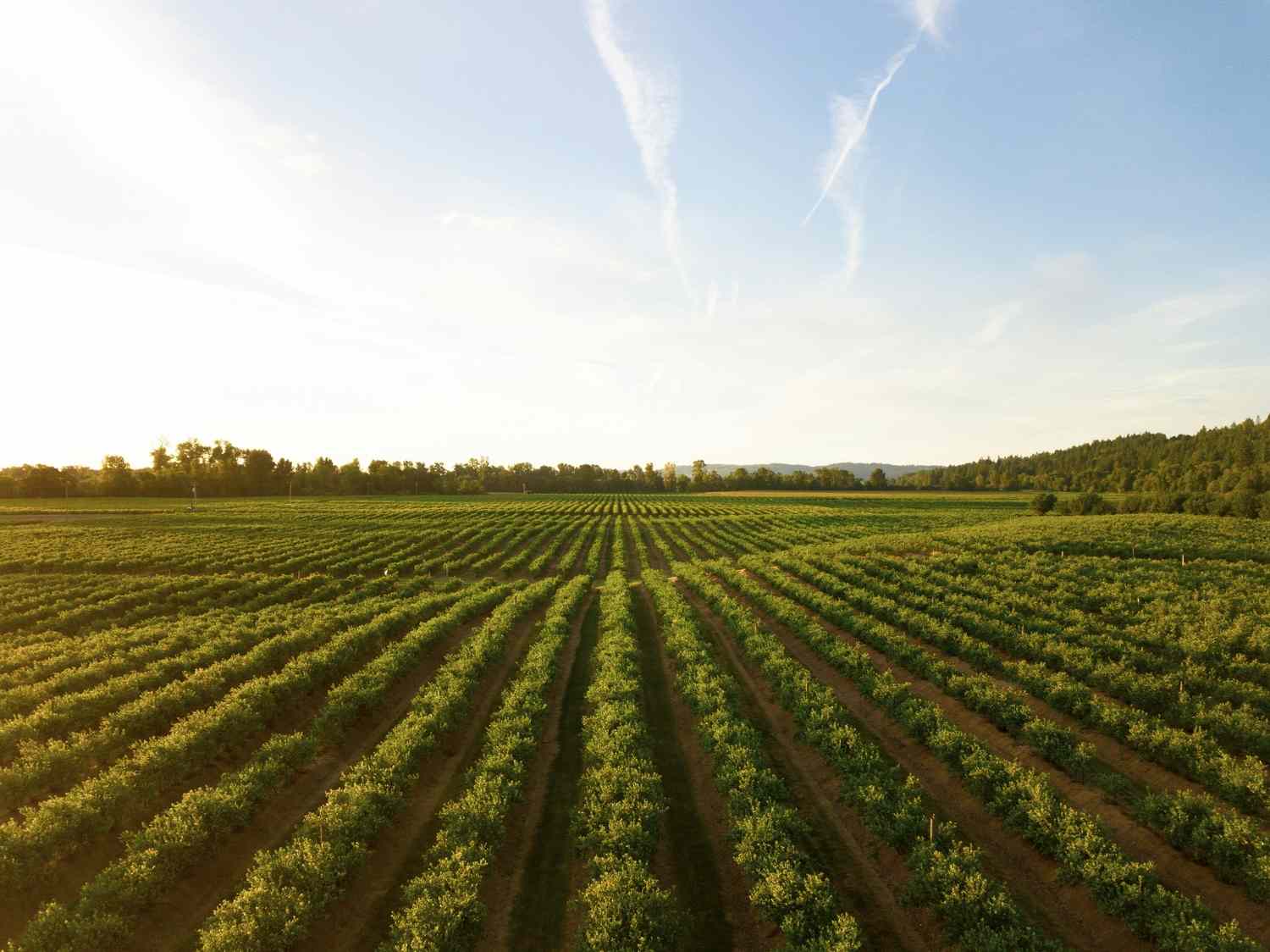
Agriculture & Land Use
Crop, soil, geology and agro-ecological zones datasets.
Climatic Datasets
Rainfall, temperature, humidity, and wind datasets
Request GIS Data
Please provide your details and specify which datasets you need. We'll get back to you with availability and pricing information.
GIS Data Request Form
Please fill out the form below to request your geospatial data needs
Step 1 of 5 - Getting started...